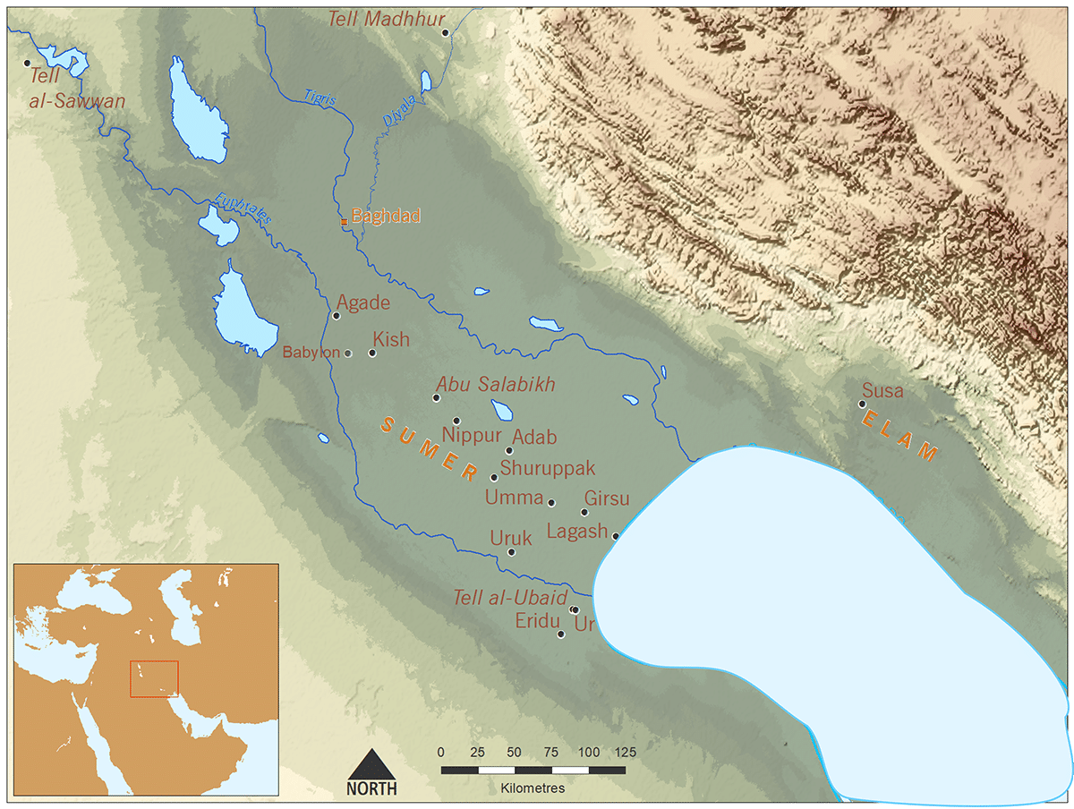
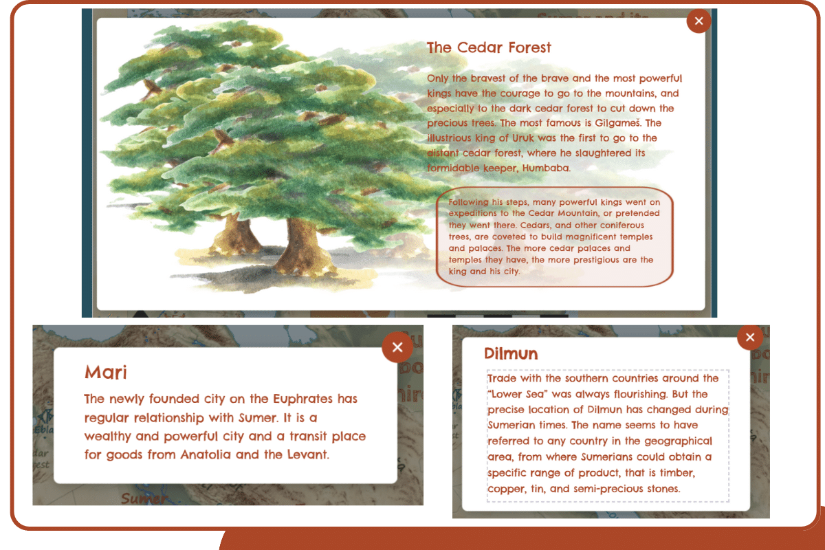
Description

A set of interactive maps, showing the Near East, Sumer and its neighbours, in ancient times, the modern borders and a zoom on the Land of Sumer with the cities and the changes of the sea levels! 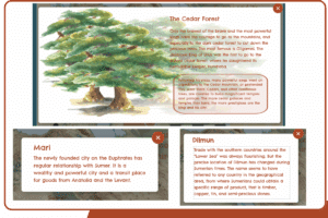
Many windows to give more information about the places. Simply click on the cuneiform signs on the map to access it. ![]()
All you need to know to see exactly where you are going!